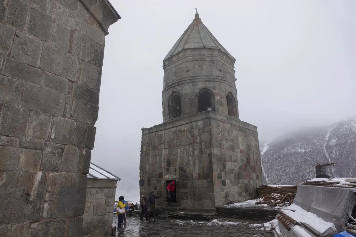
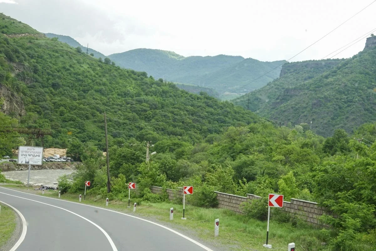
Gori and the Stalin Museum

     Gori is the fifth largest city in Georgia. It has Gori Fortress on a high rocky hill in the middle of the city, cathedrals, theaters, museums, and more. It is one of Georgia's oldest cities and at the crossing of strategic and economic roadways. They have found ceramics and wine jars dating back to years before Christ. But what does everyone say when Gori gets mentioned? "That's where Joseph Stalin was born".

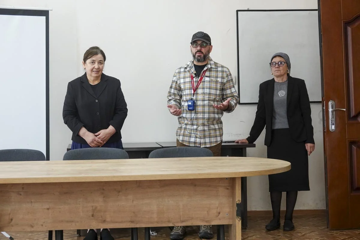
     Our visit to Gori was primarily limited to the Joseph Stalin Museum. Our guide said that Georgians had a complicated relationship with Stalin. On the one hand, he is honored for being a native son and for his leadership in fighting fascism and winning the Great War. On the other hand, he was a brutal dictator who committed many crimes and killed many innocent people. He presided over the Soviet Union from 1922 to 1953, when he died.

     His love-hate relationship continues today. I would say it's the older people who still wish to honor him as some still feel like the old Soviet Union was their best days. Younger people don't have that connection and don't like the idea or the actuality of living under an autocrat. The museum was opened in 1957 but with the independence movement, The museum was closed in 1989. It was later re-opened and today, it is a tourist draw. But after the 2008 South Ossetia war, Georgia's Minister of Culture announced that the Stalin Museum would be reorganized into the Museum of Russian Aggression in the near future. A banner was placed at the entrance stating: "This museum is a falsification of history. It is a typical example of Soviet propaganda and it attempts to legitimize the bloodiest regime in history." However, the banner was removed in 2017. So, the love-hate relationship continues, but as it does, the Stalin Museum still appears to be a major tourist destination.

     I'll start with two of the outer sites. First, they have the small wooden house where Stalin was born in 1878. It was a very simple house and he lived here until he was four. The house was moved here when the Soviets cleared its original neighborhood to make way for more modern housing. Stalin’s family only occupied the left side of the house below. They were not a wealthy family.

     Next is Stalin's personal railway carriage. He was afraid of flying and so had his own personal green Pullman carriage for moving around. It was armor plated, weighed 83 tons, and was used by Stalin from 1941 onwards including attending the Yalta Conference and Tehran Conference. We got a personal tour of Stalin's carriage but it was not really very special inside.

     The main part of the museum is a massive, two-story building that while it might ostensibly be a museum of the history of socialism, is really a memorial to Stalin. It's divided into six halls in roughly chronological order and contains perhaps 60,000 items. Many items were actually owned by Stalin or allegedly owned by Stalin, including some of his office furniture and many personal effects and gifts from over the years. Lots of what we saw was documentation, photographs, paintings, newspaper articles, and busts. It's basically a shrine to Stalin.

     Below you can see the outside of the main museum building followed by a photo taken in the entrance hall. It's not a humble building. Almost all the viewing is up on the second floor.

     The next photo is just one of the galleries to give an idea of the size and scope of the museum. The following photo was his personal office setup.

     I think that almost every formal stop of any kind that we made had a gift shop, whether it was a museum, cathedral, monastery, or whatever. The Stalin Museum was no exception except to say that the gift shop was very small. I was mostly intrigued by the fact that they were selling Stalin Wines. I guess he was a true Georgian. Our guide told us that Stalin hated dry wines and only liked semi-sweet wines. I would have hated to have been the guy who served Stalin a dry wine.

Borjomi

     We continued driving west from Gori for another ninety minutes to southcentral Georgia to arrive at Borjomi. It's a small resort town in the alpine forests with lush green meadows and swift-running rivers. It was a nice change from Tbilisi and we stayed in a great place, the Crowne Plaza Borjomi Hotel. Our hotel is only a couple of minutes walk from Borjomi National Park and you can see our hotel below.

     We have seen some incredible buildings on this trip but the Caucasus aren't limited to fancy buildings. We also crossed some incredible bridges including the one at our hotel. I would call it whimsical. It reminded me of a miniature golf hole...so I used my putter to cross the bridge.

     We didn't spend very much time in Borjomi itself. We mostly toured the surrounding areas. This part of Georgia had lots of old fortifications up in the hills, and we stopped to peruse a few of them in the area.

     We also crossed a lot of bridges including some swinging bridges like the one above. I was following Vicky and on every swinging bridge, I had to ask her if she'd been drinking, because she was having so much trouble walking. The long swinging bridges could really sway on you.

     We stopped for lunch at a place called Valodias Cottage. We ate outside along the river. We had wine, cheese, cheesebread, tomatoes, cucumbers, beans, potatoes, fresh trout, and cake for dessert. It was a fabulous meal. I would guess that they were about one-pound trout.

Borjomi National Park

     Borjomi National Park was about a two-minute walk from our hotel. We had a tour scheduled but our guide cancelled it due to rain. We were supposed to take the tram up to the top of the park where there are trails, views, and other things to do, but the tram was closed due to the weather. The park is primarily known for its historic mineral water. The springs in Borjomi Gorge have been known to locals for over a thousand years. These artesian springs in the valley are fed by water that filters from glaciers at high altitudes and surfaces here in the park.

     The mineral waters were just a local item until the early 1800's when the Russian Imperial Army was stationed here. The Grand Duke found it so impressive that he built his summer residence here and since he liked the area so much, he restricted lumbering and limited hunting, which helped to preserve this area, now a park.

     The park is very large and has extensive trails for hiking, biking, horse-back riding, and so on. The area's history dates back to Medieval times and its uniqueness is diversity of geographical and ecological zones along with landscapes, historical monuments, and a rich flora and fauna. The park has also developed infrastructure for tourists.

     Since we love parks, Vicky and I self-toured the park. The tram was not working due to rain, so we only visited the lower elevation areas. It was only a light rain and it didn't slow us down at all.

  Since the park centers around the mineral water, we made that our primary visiting point. The water just flows out of two spigots under the dome pictured above. We watched a line of locals come visit with their own bottles to get their daily mineral water. We tried it but I didn't find it particularly refreshing. It tasted peculiar to me.

     We found what looked like a super fun, and challenging, par course or some such physically challenging course, but it was closed off. Too bad.

     One thing about the old Soviet countries that I like is all the statues, memorials, and art works. We found one here in the park. Someone hung their hat on it.

Vardzia

     We drove south from Borjomi to Vardzia in southern Georgia. Vardzia is a cave monastery on the left bank of the Kura River that was excavated from the slopes of the Erusheti Mountain. The main construction was in the second half of the 12th century. Soviet-era excavations have shown that Vardzia was inhabited during the Bronze Age. Cave settlements along the Kura River date from at least the 5th century BC.

     The caves stretch along the cliff for over one-third of a mile, so we only saw a small portion of them. Our guide said that there were 750 chambers and that the complex was up to nineteen tiers high. Between 1,000 and 2,500 monks lived here at its peak occupation. Today, a handful of monks still live here. The monastery was an important cultural and religious center and a place of significant literary and artistic work.

     The construction and part of the fort-like nature of the caves was due to the fear of an invasion by the Mongols. King Giorgi III had these built and we heard a long story about his daughter, Queen Tamara, transforming the caves into a monastery. But while Vardzia might have kept the Mongols out, it was no match for Mother Nature. An earthquake in 1283 destroyed over two-thirds of the cave city.

     I'll start with some photos from across the Kura River where I'll zoom in farther with each photo to show what it was like. And again, this is just a small portion of the caves. Now that it's a tourist destination, they've added railings and ladders.

     We hiked around for about an hour but barely scratched the surface in terms of seeing the whole complex. We did get our exercise in for the day.

      From this level, it was quite a view looking out, and clearly a long ways down.

     Most of the rooms were not all that interesting to visit. Below is part of the Rectory, probably the second most interesting place to visit here.

Vardzia, Church of the Dormition

     We are still at the Vardzia cave monastery. This was our visit there to The Church of the Dormition. It dates to the 1180's and has a series of important wall paintings. The site was largely abandoned after the Ottoman takeover in the 16th century. But now it's part of a Georgia state heritage preserve.

     The Church of the Dormition was the central spiritual focus of Vardzia. It was similarly carved from rock but its walls were reinforced with stone. The church measures 27 feet by 48 feet and is 30 feet high, so that was a lot of rock carving. It's covered with a barrel vault and has adjacent rooms on two sides. The church is illuminated by three windows.

     A handful of monks still reside here today. We met one on our way up to and inside of the Church of the Dormition. Below that, you can see the three bells and the outside wall of the church.

   The next two photos are inside the church.

     The western adjacent room to the church leads to another separate hall, which has a tunnel which ends with a cold water pool. I had wondered how Vardzia would survive without water had the Mongols showed up. But they were prepared for that with a pipe system and water storage.

Georgia Military Highway

     On this day, we spent eight hours traveling from Borjomi to Kazbegi on the Georgian Military Highway. It's a 132 mile highway between Tbilisi and Vladikavkaz, Russia. It follows the traditional northern route of the Silk Road and is the same road used by traders, invaders, and pilgrims for thousands of years. The name reflects the roads current form that was built 200 years ago by Russian soldiers. It was improved and used as a crucial military link between Russia, Europe, and Asia. It's played an important role in numerous conflicts and invasions throughout history.

     Today, the highway is an important trade route between Turkey, Georgia, and Russia and has an enormous amount of truck traffic. It has its problems, however, and they involve narrow roads, Jvari Pass, and challenging weather conditions. We found that out but it's a beautiful mountain road. It weaves through some of Europe's largest mountains and includes sections that are steep, narrow, and winding plus narrow switchbacks. Our guide warned us that motion sickness could be a problem for some people, but honestly, much of the time we were moving along very slowly.

     The Georgian Military Highway includes many dramatic views, captivating medieval sites, old castles, battle sites, and more. The problem with our trip up this road was the weather. We were told that Georgia was all a solid spring green color at the start of the week.

     I'll start with why motion sickness wasn't always a problem. The highway is narrow with little room to maneuver, for vehicles and other users. I suppose that back when this was the Silk Road, the road would have been full of camels. We didn't see any camels, but animals still use the road. There is no other place for them to move from pasture to pasture but the road. You can also notice that the rain had started. But hey, it's the journey, not the destination.

     I wasn't bothered by a little rain...but then there was more than a little rain. I could only get some moving bus photos, and I'll only include a few. In the first photo, rain was pouring off the mountains and there were waterfalls all over the mountain, where there aren't normally any waterfalls. It was just that so much water was raining down at once. We could probably see a dozen of these waterfalls but this one was the biggest.

     Near Jvari Pass, we had to go through one really long tunnel. I was in the front of the bus and I couldn't imagine that there was enough room for us to pass many of the big trucks, not to mention all the rain and dripping coming down on the bus. We had a 45-passenger bus by the way. And in addition to the rain, we were in a thick fog as well.

     We finally got out of the rain, but we weren't out of the weather. We consequently didn't stop for any views or medieval sites.

     It was a wild ride, but we finally made it to Kazbegi and The Rooms Hotel Kazbegi, as you can see below.

     The Green Georgian Mountains, the Greater Caucasus Mountains, had been transformed from green to white.

Kazbegi

     We woke up early in our hotel in Kazbegi and everything was as quiet as it could be. I got out of bed and pulled back the curtains to see where we were in the world, since we had arrived late yesterday in a snowstorm. It turned out that we were in the mountains and flanked by towering mountains. From our bed in our hotel room, we could see Mount Kazbek at 16,581 feet above sea level and Mount Shani at 14,603 feet, plus many other peaks. Clouds were drifting in and out as was the sun. It was a fabulous live action scene, right from our hotel room.

     The official name of Kazbegi is Stepantsminda, which means Saint Stephan. It comes from the Orthodox monk who constructed the hermitage here in medieval times. The Soviets officially renamed it Kazbegi. Either way, it's a small town of under 5,000 people in the far northeast of Georgia. It's about 7.5 miles from the Russian border and about 96 miles due north of Tbilisi. You can see much of the town below.

     In the next photo, if you look on a plateau on the left center of the photo, you can notice the Gergeti Trinity Church, which was on our agenda to visit on this day. And yes, we did get up there for a visit, via four-wheel drive vehicles. You can see a closeup in the following photo.

     We've found ourselves in some fabulous places in our travels, but this was both fabulous and surprising. We loved it.

     We still had to eat, of course. I'll give you a glimpse of our night's dinner which was in the hotel. We had a tomato, cheese, olive and cucumber salad, a separate Greek salad, 4 dips for our pita bread, fried chicken with potatoes, bread, Khachapuri's (meat pies), a vegetable ragu, and a rice and vegetable dish (not all pictured). For dessert, we had a variety of petit fours and a fruit plate plus tea.  

Tsdo Village

     From Kazbegi, we got into some four-wheel drive vehicles for a drive up the mountain opposite our hotel to the very small village of Tsdo. It was a winding, snowy, wild ride but we made it up the mountain. Tsdo is a village of 17 people. It's actually below 5,000 feet elevation but it had lots of snow on this day. Tsdo is only about three to four miles from the Russian border and they have had many issues with Russia over the years.

     Back in Soviet times, this small village had about 5,000 sheep and supplied wool for the Soviet Union. Today, we only saw a few chickens at the house we visited. The village seems to be just hanging on, which is probably how we got up there (via our travel company).

     Our visit was an educational lunch visit around Georgian culture, cuisine, and Georgian hospitality. First you can see the small village of Tsdo, and then the house within the village that we visited.

     Perhaps the chief purpose of our visit was to learn how to make 'khinkali,' which are meat-filled dumplings whose origins are in the mountains of Georgia. We first got a demonstration, but then it was time to go hands-on with the process. We made a cheese mixture khinkali, and a meat mixture khinkali. Both were served to us for lunch and both were very good.

     Lunch was served in close quarters but was very good. We had fresh salad, bread, homemade brandy by the brother in the back left of the photo, cheese, Quince juice, cheese and meat khinkali's, beet root and cheese Khachapuri's, beef stew, and several more brandy's, for good measure. 

     Following lunch, we drove to the Gergeti Trinity Church. The remote 14th century church is perched on a hill with Mount Kazbek in the background. It features tremendous alpine vistas of the Greater Caucasus Mountains. The church is one of Georgia's iconic landmarks. It was hard to get photos of the church from being right at the church. I got the best one I could in the first photo. In the second photo, you can see Vicky (red coat) entering the church grounds through the bell tower. The church was open but no photos were allowed inside it.

Sno Village Sculpture Garden

     Before leaving the Kazbegi area, we had a short stop to the small village of Sno. Sno is in a picturesque valley surrounded by the towering Greater Caucasus Mountains. It's a popular destination for hiking and other outdoor activities with many scenic trails leading to waterfalls and mountain lakes. It has a rich history dating back to medieval times with ancient fortresses and towers in the surrounding countryside. 

     Our short visit to Sno was to its unique outdoor sculpture museum which is located at the entrance to the village. I thought I would include this as it's a different sculpture garden than most that I've seen before. It's a collection of giant stone heads, each evidently depicting a famous Georgian writer, poet, or leader. The first photo is Sno Village, followed by the sculptures.

Kazbegi to Telavi

     Today we backtracked from Kazbegi, driving south, back over the Jvari Pass, then off to southeastern Georgia. So we are going back over the Georgian Military Highway, only this time, in bright sunshine instead of fog, rain, and blowing snow. We had several stops planned going over but we never made them due to the weather, but we did manage a few of them on the way back.

     Our first stop was simply along the road at a place where hot mineral water washes off the mountain. It exposes the colored rock underneath it. It was a peculiar site to see, especially with the snow.

     Next, we passed over the Jvari Mountain Pass which is 7,800 feet elevation. It had acquired a blanket of snow since we passed over it.

     The mountains were beautiful after passing Jvari Pass. We stopped at the Treaty of Georgievsk Monument, or the Russia-Georgia Friendship Monument. It was built in 1983 to commemorate the Treaty of Georgievsk, signed in 1783, or 200 years earlier. You can't beat the Russians for building monuments, even if it takes 200 years to do it.

     The monument overlooks the Devil's Valley. Inside the monument is a large tile mural that spans the whole circumference of the monument structure and depicts scenes from Georgian and Russian history. In the top center of the mural, you can see the 1783 and 1983 dates.

     Lunch was outside at the Green Tianeti Restaurant. We had potato-cabbage borsch - which was excellent, white and black breads, meatloaf, a tomato and onion salad, a chicken and corn salad, mushrooms, and a walnut roll and tea for dessert.

Telavi

     We visited Telavi for a couple of days which included some of the surrounding areas. Telavi is in eastern Georgia, in the foothills, and has somewhat over 20,000 inhabitants. Like much of Georgia, archeological findings date it back to the Bronze Age. It's sort of on the rim of a large valley and it was a very beautiful area. We were told it is the wine capital of Georgia. Telavi has a long and interesting history.

     Our hotel was right across the street from the Telavi Fortress, or the Batonis Tsikhe Fortress, or "The Lord's Castle." The original palace was commissioned between 1664 and 1675. It's reminiscent of contemporary Persian palaces. The complex includes two royal basilica chapels and bathhouses, which is all encircled by a monumental wall crowned with corner towers. I took the first photo out the window of our hotel as we ate breakfast one morning. 

     Next is the Elena Akhvlediani Art School building. It's named after a famous Georgian artist and reflects her commitment to high standards of art education and creative development. Elena (1901 - 1975) was a painter, graphic artist, book illustrator, and theater and cinema artist. The school is suitable for both children and adults in such disciplines as drawing, painting, composition and graphics. The school is in a very old building, and you can see an artwork on the left side. You might also notice a grape vine growing up the same wall. The vine provides grapes through the windows on both the first and second floor. This was not an uncommon site in Georgia. 

     The next building was another near our hotel. I liked it but I also have another reason for including it. I've noted before that most of the Soviet era buildings were about function and not form. This, however, is a Soviet era building, so I'd like to give them a little credit for it.

     The next photo also serves dual purposes. I'm showing a little of Telavi's architecture in their buildings but I'm also showing a sign. You can't go very far in Georgia without seeing a "Wine Route" sign. Wine routes were like spiderwebs on the Georgian countryside, and even in the cities. 

    And keeping with the wine theme, the wine girl statue is another Soviet era addition to Telavi and its heritage, located in the Telavi City Center.

     We walked to the Telavi Bazaar or Market on our second day here. It was downhill all the way. When we got to the market, I had a decent view of the valley below Telavi, so I took this photo. No wonder we had such wonderful fruits and vegetables.

     Only a block from our hotel, I found this eye-catching situation. Here you have two small businesses, maybe ten feet apart, and between them, you have all four of the main food groups: wine and chocolate on the left, and coffee and ice cream on the right. Telavi, WHAT A TOWN!

Telavi Bazaar

     We visited the Telavi Bazaar or Telavi Food Market. The market has been a cornerstone of cultural and culinary exchange since the 17th century. Our guide did tell us that this market is slowly dying due to all the supermarkets selling produce. I was saddened to hear that, but we enjoyed our visit here nonetheless. 

     The market was bustling and full of vibrant colors, rich aromas, and plenty of bickering over prices. From tangy pickles to silky sulgini cheese to sweet honeycomb to refreshing kiwi juice, this market had it all. And it especially had wine stalls, so there you go.

     I love going to fresh markets and showing off all the fresh fruits and vegetables, and yes, this market had plenty of them. But I'm not going to show them. Nor am I going to show the wonderful dairy and cheese section or the meat and fresh fish sections. And as much as I was thrilled with the piles of potent cumin, you won't see that either.

     I've decided to show what I would call the less common and the more Caucasus type items that I found in the market, so here we go. My first photo was at the corner intersection, just after we crossed the street to the market area. Now we've all seen people selling fresh flowers, but I almost always see them selling fresh cut flowers, especially by the roadside. This woman was selling fresh flowers that were all still growing in pots, so fresh live flowers.

     Seeing garlic in a market like this is not unusual. But I found several places selling pickled garlic. I asked our guide about it and he said it's common in Georgia. He purchased some for us to try. It's like a pickle, sort of, but it was on the hot side, like very strong garlic.

     Garlic isn't the only pickled thing that was for sale in the Telavi Bazaar, as you can see below.

     The highlight of our market visit, or at least the area that we spent the most time, was at the fruit leathers area. They had what we normally see as dried fruits but then they had 'churchkhela' which is a traditional Georgian candy made from walnuts and grape juice. This product dominated the sweet stalls. They had fruit leathers made from grapes, plums, pears, apples, and kiwis. The churchkhela are the ones hanging in the top area. The more traditional dried fruits are down below.

     The next photo will better show how the churchkhela are made. They string walnuts on a string. Then they cook the fruit juice, adding flour to it, (and maybe other stuff), and as it's cooling, they dip the walnut covered string into it, like a candle. We tried many versions and they were all good.

     Mushrooms aren't one of the most common items in these markets, but this market had plenty of mushrooms for sale.

     My last photo might seem unusual too. It was a section of brooms. Why would I include this, you ask? Simple. These Caucasus countries were probably the cleanest countries that we've ever visited. It was rare to find a piece of litter or garbage anywhere. And when we saw people cleaning up the streets, these were the brooms that they were all using to sweep up.

Akhmeta

     We drove north from Telavi to Akhmeta, a small town not too far from the Russian border and Chechnya. The municipality has three nature preserves, lots of history, one of the tallest Orthodox Churches in Georgia, monasteries, fortresses, museums and so on. Most people in the area are involved with the food or timber industries. The main areas of agriculture are winegrowing, animal husbandry, and sheep farming.

     We, however, went to Akhmeta to visit a Chechnyan section of the village. One thing that can't be ignored in the Caucasus is how many ethnic people live in a state or political area different from their own ethnicity. But they do their best to maintain their own ethnicity and identities. That is the case with the people we met in Akhmeta. (On a side note, our Armenian guide said many Azerbaijanis and Armenians live in Iran, so when people are bombing Iran (in 2025), they are bombing many other ethnicities besides Iranians).

     The first photo is driving through Akhmeta to get to our destination. In the second photo, the Community Center that we visited was on the right side, several land parcels up the road. On another side note, if you see the pipes along the road, with the tops usually painted yellow, those are their natural gas lines. For some reason, the law demands that their gas lines be above ground and not below ground.

     My next photo will just be one I thought I would mention at some point. As the Caucasus are on the border between East and West, the toilets tended to fluctuate between the two. Most of the time, we found western style toilets, but it was not too unusual to find eastern style toilets. If you plan to visit this area, it helps to have good knees, legs, and quads. Otherwise, you might have some problems, like at this stop.

     We visited their Community Center and had a talk by two Chechnyan women. Among other things, they told us that they take very good care of their elders. I liked that. They also said that they have their own local laws and codes and follow them, not Georgian laws. I'm not sure how that works out.

     This particular group of women helps women and youth. They used to get USAID but they don't any longer. That's too bad as this group is also very near the Russian border. USAID helped the economic empowerment of women; women's involvement in the municipality; and integrating their youth into society. Below are our two speakers, with our guide in the center.

     One of the community center projects is a ceramics workshop, so of course, we participated. We made soap dishes from clay. Some of it was already set up and we didn't stay around to bake them, but it was somewhat fun and interesting. We purchased ceramic products afterwards.

     Our next project at the Community Center was 'pumpkin pie making', according to our guide. I would say that we were making pumpkin khachapuris, but what do I know. With their expert guidance, we made them, cooked them, and ate them. They were really delicious and were served with homemade non-alcoholic beer that was really tasty and excellent. It was a great mid-morning snack to finish our visit. I would also add that it did, in fact, taste a lot like pumpkin pie.

Mosmieri Winery

     Our big visit this afternoon was to the Mosmieri Winery. It was a short drive from Telavi, through mostly vineyard country. This is the Kakheti wine region. Georgia has been making wines for over 8,000 years. This winery has 42 acres of grapes, and they produce three varieties of wine. They said that Georgia has 525 varieties of grapes, but most are wild grapes. Georgians produce wine from 28 varieties of grapes. They make most of their wines the 'regular' way, but they do produce some of their wines the "Georgian way." Mosmieri produces about 15,000 cases of wine per year.

     The Georgian way of wine making is to bury the qvevri (large clay vessels) in the ground. Qvevri are 500-800 gallon, egg-shaped clay vessels. The only entrance for the Georgian way is from the top of the pots, so all the work must be done from above. The qvevri are about six to seven feet tall, or deep when working from above. They make dry wines including an Amber wine, which is not red, white, or rose'. 

     You can see some of their vineyard and get a sense of their location in the first photo. Next are their Georgian wine tubs, in the ground.

     They also have modern temperature-controlled stainless-steel tanks and age their regular wines in French oak barrels, from Burgundy France.

     They have multiple locations for tasting and dining and the main restaurant area was very nice, as you can see. We ate outside on the veranda which is to the left of the photo below.

     We had lunch and wine tasting and everything was very nice. Lunch was beets and cheese, tomatoes and cheese, Dolma, BBQ pork, potatoes, breads, and grape juice and walnut fruit leather with tea for dessert.

     We tasted three wines plus some Cha Cha, which was like Grappa. I was not familiar with any of the grape varieties. We were served one Amber wine. They said that the wine world now recognizes their Amber wines as a 4th type of wine: reds, whites, rose', and now amber.

To the Armenian Border

     Today we drove from Telavi, Georgia to Yerevan, Armenia. The trip took us twelve hours. Of course, we made plenty of stops along the way. The drive in Georgia was about 4.5 hours to get to the border and it was all through agricultural lands. This will mostly be an agriculture post.

     Vineyards represented most of crops that we saw. I don't know the percentage, but vineyards seemed to be everywhere I looked. I think that this area of Georgia is probably the largest grape-growing region. 

     You can first see a vineyard. Next, you can see a tractor working in a vineyard. Most of the tractors that we saw in Georgia were about this size. I don't think that I ever saw any tractors that were much bigger than this one, even working large fields.

     The next photo is a fast-moving bus photo, but I want to point something out. You can see a variety of orchard trees and vineyards. But you also see lots of just regular trees growing amongst the orchards and vineyards. That was normal for Georgia. Their agriculture lands do not look like our agricultural lands. They are quite a bit wilder and less organized than ours. 

     Like in Azerbaijan, farm animals were common along roadsides in Georgia. I rarely saw fences along the fields to keep the animals off the roads. Plus, animals were moved from place to place and roads needed to be crossed to do that. Drivers were always cautious around the animals.

     Driving through agricultural lands, I think I've seen just about everything being sold along the road over my many trips. I've seen lots of fruits, nuts, vegetables, and related products. But I had never seen live chickens being sold along the road, but we did on this drive, and lots of them.

     On a farm in the US, farmers have their own fuel tanks. Fuel gets delivered to the farm and then the farmer fuels his equipment. In Georgia, on many occasions, I saw tractors just pull into a regular gas station and gas up. I was watching the guy below work a field. Then, he pulled out of the field and drove along the road and right into the same gas station that we were at. I just found that interesting.

     And that's it for Georgia. We are now arriving at the border with Armenia.

Armenian Border to Yerevan

     We just crossed the border from Georgia into Armenia. Armenia is one of the world's oldest civilizations. It existed, in different forms, from 860 BC until the 14th century, though there were lots of changes along the way. Modern Armenia is a small portion of ancient Armenia. Armenia once extended from the Black Sea coast to the Caspian Sea and from the Mediterranean Sea into present-day Iran. Armenia was a huge country. It finally lost most of its territory to the Ottomans, Persians, and Russians. Much of modern-day Turkey and Iran used to be part of western Armenia. And much of Russia today used to be part of eastern Armenia. I don't think they have much hope of ever regaining those lands. Armenia was under Russia from 1922 to 1991, when they finally gained their own independence and which still exists today. They were one of 15 members of the USSR.

     Today, Armenia is a unitary multiparty democratic republic with a single National Assembly. There are over 2.5 million people in Armenia, but I suspect that there are millions more Armenians living outside of Armenia today than inside Armenia. Armenia is a landlocked country.

     Tradition holds that Christianity was introduced to Armenia by the apostles, Bartholomew and Thaddeus in the 1st century AD. Armenia was the first nation in the world to adopt Christianity as their state religion. In 301 AD, Saint Gregory the Illuminator convinced the King of Armenia, Tiridates III, to convert to Christianity. The king was baptized and officially Christianized his people. Today, about 97 percent of Armenians are Christians and about 93 percent are members of the Armenian Apostolic Church, one of the oldest Christian churches.

     Armenia is a mountainous country with a huge variety of scenery and lots of geologic instability. A 1988 earthquake killed about 25,000 people. Average elevation is 5,900 feet above sea level. Armenia doesn't have any true lowlands though the Ararat Plain makes it appear to be lowlands. Northwestern Armenia has peaks above 13,000 feet high and eastern Armenia has peaks of almost 12,000 feet high.

     You can see a couple of views of northern Armenia as we entered the country, driving south.

     I had no idea that Armenia was so mountainous, so as we drove south and got closer to Yerevan, the forest disappeared, and we started to see some agriculture. At that point, I thought that Armenia had highlands and lowlands.

     But then as we were approaching Yerevan, we came around a corner and I realized that we were not that low after all. It turned out that we were simply approaching the Ararat Plane, which was still about 2,600 feet elevation, but with mountains right next to it.

     We made a stop near the point of the above photo. We visited a Zoroaster Temple and met the Sheik who was in charge of it. Zoroastrianism has been practiced in Armenia since the fifth century BC. Armenia was primarily Zoroastrian prior to the Christianization of Armenia. We had a special presentation and a Q&A with the Sheik inside the temple, but I didn't learn very much. There were two problems. First, it was as cold as a meat locker inside the temple and second, it was like an echo chamber, so it was extremely hard for me to understand what was being said. 

     While it turns out that Armenia is not a big agricultural country, like I had suspected, it does have agriculture and animals. Below we are just on the outskirts of Yerevan, the capital, when we encountered some animals crossing the road.

Yerevan

     We are now in Yerevan, the capital and largest city in Armenia. The founding of Yerevan, with a fortress, dates back to 782 BC which makes Yerevan older than Rome Italy. It was designed as an administrative and religious center which it still is today. The population of Yerevan is over a million people and is about 35 percent of Armenia's total population. I thought Yerevan was a beautiful city and we enjoyed our stay there.

     I'll start my comments on Yerevan by giving a thumbs up to Alexander Tamanian, the primary architect of today's Yerevan. He is regarded as one of the great architects of the 20th century. He developed Yerevan's urban master plan as well as the Opera and Ballet Theater and the Government House. He left a long legacy of work in Armenia and Russia as he was a Russian-born Armenian.

     I'll start with a statue of Tamanian at the Cascade complex which he designed. His statue is at the bottom of the complex. The next photo is from the top of the cascade complex which gives an overview of Yerevan. Tamanian's design for Yerevan called for no buildings to be over two stories so that everyone in Yerevan could see Mount Ararat from everywhere in town. Of course, developers and politicians haven't adhered to his design.

     Republic Square is the central town square in Yerevan. It was originally designed by Alexander Tamanian in 1924. The square consists of an oval and a trapezoid-shaped section with a pool with musical fountains. The square is surrounded by five major buildings built in pink and yellow tuff (a type of volcanic ash rock). Buildings include the Government House, the History Museum and the National Gallery, and the Armenia Marriott Hotel, which is where we stayed in Yerevan for four days.

     During Soviet times, it was called Lenin Square and featured a statue of Lenin at the square but that all changed with Armenia's independence.

     Below are three photos of Republic Square, starting with the Marriott Hotel, our home in Yerevan. Next is the Government House and the History Museum.

     Yerevan was evidently a much bleaker place during Soviet times. Since then, and especially since the early 2000s, Yerevan has undergone a major transformation. Now, retail outlets, shops, restaurants, and street cafes are common. I took the next photo while Vicky and I were out for a walk around the Republic Square area. It had a very European feel to it.

     Our Armenian guide mentioned that some of the buildings in Armenia now seem to be designed to contrast dramatically with the Soviet era buildings. I don't know if the next one is one of those designs, but it seemed that way to me. 

Cascade Complex

     Since we've already seen a glimpse of the Cascade, a building complex, let's take a closer look. It was originally planned in the 1920's when it was proposed by Alexander Tamanyan. The idea was a cascading waterfall and terraced garden to join two parts of the city, the City Center and Victory Park. He died, however, before the implementation of it. Oddly enough, in 1970, 34 years after his death, the Soviet Union returned to the idea of building it. The city's new chief architect, Jim Totosyan and others modified the design. Our Armenian guide said that the Cascade links the Downtown to residential areas in the hills of Yerevan. 

     The actual building of the Cascade complex took many years and involved many delays. Moscow had to help with the funding and such things as funding the Olympic Games in Moscow, curtailing funds, the 1988 earthquake, and the fall of the Soviet Union, all slowed the progress. Eventually, the project received philanthropist funding. 

     The Cascade is functional today, though work continues on it. The architectural changes included the addition of extensive staircases, exhibition halls, courtyards, internal escalators, and various sculptures in the gardens. We spent quite a while here and started at the bottom. There are 572 stairs to get to the top. Our group took the escalators which are hidden underneath the stairways. I was the only one that took the stairs, but I alternated between the stairs and the escalators. I probably walked about 300 stairs.

     I suppose the biggest disappointment was that there were no waterfalls or hardly any water at all when we were there. I imagine it would have been fantastic to see that. The entire structure was magnificent, but we probably spent the most time viewing the sculpture garden portion of the complex. The sculptures are from three Brits, a Czech couple, a Spaniard, and a Colombian artist.

     There was a wide variety of sculptures in the garden and I'll just let them speak for themselves. I would only add that Fernando Botero, the Colombian artist, seemed to like plumpness in his sculptures. Can you guess Botero's creations?

     The view from the top was even more fantastic, thanks to Mount Ararat.

Geghard Monastery

     Geghard Monastery was our first visit on this day. It's east of Yerevan in the mountains and the Azat River gorge. This monastery complex was founded in the 4th century by Gregory the Illuminator at the site of a sacred spring inside a cave. It was originally called the Monastery of the Cave. The main chapel that we see today was built in 1215. The name Geghard (or Geghardavank) means the Monastery of the Spear. That originated from the lance or spear which had wounded Jesus at the Crucifixion, allegedly brought to Armenia by the Apostle Jude, here called Thaddeus, and stored here amongst many other relics. The spear was stored here for 500 years before being moved to Etchmiadzin.

     Some of the churches in this monastery complex are entirely dug out of the cliff rocks while others are basically caves. I think that speaks to the age of the complex. Some walled sections and rooms are deep inside the cliff. We visited all the rooms that we could find and every room had a story about it's origins and uses and some rooms had complex uses.

     The first photo shows the main church, built in 1215. It was undergoing some repairs. The second photo shows some other church or building and you can see that it's built into the mountain and perhaps was a cave originally.

    Going inside the main church, first you enter the rock-attached vestry, or gavit in Armenian. It has massive free-standing columns to support a stone roof with a hole in the center to admit light. The dome in the center is a stalactite vault. The vestry was used for teaching and meetings, and for receiving pilgrims and visitors.

     The main church of the complex was traditional in most respects. It is built against the mountain, which is not exposed in the interior. I noticed that there was no seating in the main church. It was only for standing and not for very many people at that.

     We visited many other rooms in the complex. The next photo is the Upper Zhamatun which was the tomb of Papak Proshyan and his wife Ruzekana. It was hewn in 1288. There were also other tombs within the complex. This chamber had extraordinary acoustics and we were treated to a private concert. The sounds and hymns that these ladies sung were truly inspiring. It was a real highlight event. 

     There was really a lot to see on the church and inside the church if you took the time to study the walls. Our guide was a big help as he knew what to look for and what it meant.

     Today just seemed like a tie-dye day to us. And for the first time on our travels, I think we were infectious! Can you imagine that?

Lavash Bakery

     We had just left the Geghard Monastery when we pulled back off the road. I was actually glad for an odd reason. I had seen piles of dried brush along the road on many occasions. The brush was never near any trees or shrubs that looked like the sticks might have come from their being pruned. I was hoping to find out about the brush piles, and I did. You can see this brush pile below.

     It turned out that we had stopped at a Lavash Bakery. It was just a simple shed alongside the road, but it was a great stop for us. Lavash is a traditional, soft flatbread made from flour, water, and salt. It may or may not be leavened. It's a very simple process. The dough is rolled out into a thin sheet through their hands-on process, then tossed in the air a few times, and then baked in a tandoor or clay oven. The sticks along the road are the fuel for their bakery oven.

     Lavash is an ancient bread and a staple in Armenia, Azerbaijan, Iran, and Turkey. It can be eaten as bread or used for wraps, scooping dips, or cradling kebabs. The making of lavash can be a communal event for families or communities. But in this case, it was a roadside bakery.

     You can see the process below. These two women were doing all the work in making the bread, but the others probably helped to bring wood for the fire and bring more ingredients. I don't know how long these two women have been doing this, but they were real pros at it.

     Below, you can see the bread stuck to the side of the clay oven, to bake.

     The funniest moment at this stop was when one of our fellow travelers asked a question. She asked our guide how the two women could crouch on their knees for so long without being in pain. Our guide asked the women the question and they both laughed and laughed. It turned out that there are holes in the floor and they are standing in the holes, not kneeling. That puts them close to the oven.