
Armenian Border to Yerevan
We just crossed the border from Georgia into Armenia. Armenia is one of the world's oldest civilizations. It existed, in different forms, from 860 BC until the 14th century, though there were lots of changes along the way. Modern Armenia is a small portion of ancient Armenia. Armenia once extended from the Black Sea coast to the Caspian Sea and from the Mediterranean Sea into present-day Iran. Armenia was a huge country. It finally lost most of its territory to the Ottomans, Persians, and Russians. Much of modern-day Turkey and Iran used to be part of western Armenia. And much of Russia today used to be part of eastern Armenia. I don't think they have much hope of ever regaining those lands. Armenia was under Russia from 1922 to 1991, when they finally gained their own independence and which still exists today. They were one of 15 members of the USSR.
Today, Armenia is a unitary multiparty democratic republic with a single National Assembly. There are over 2.5 million people in Armenia, but I suspect that there are millions more Armenians living outside of Armenia today than inside Armenia. Armenia is a landlocked country.
Tradition holds that Christianity was introduced to Armenia by the apostles, Bartholomew and Thaddeus in the 1st century AD. Armenia was the first nation in the world to adopt Christianity as their state religion. In 301 AD, Saint Gregory the Illuminator convinced the King of Armenia, Tiridates III, to convert to Christianity. The king was baptized and officially Christianized his people. Today, about 97 percent of Armenians are Christians and about 93 percent are members of the Armenian Apostolic Church, one of the oldest Christian churches.
Armenia is a mountainous country with a huge variety of scenery and lots of geologic instability. A 1988 earthquake killed about 25,000 people. Average elevation is 5,900 feet above sea level. Armenia doesn't have any true lowlands though the Ararat Plain makes it appear to be lowlands. Northwestern Armenia has peaks above 13,000 feet high and eastern Armenia has peaks of almost 12,000 feet high.
You can see a couple of views of northern Armenia as we entered the country, driving south.
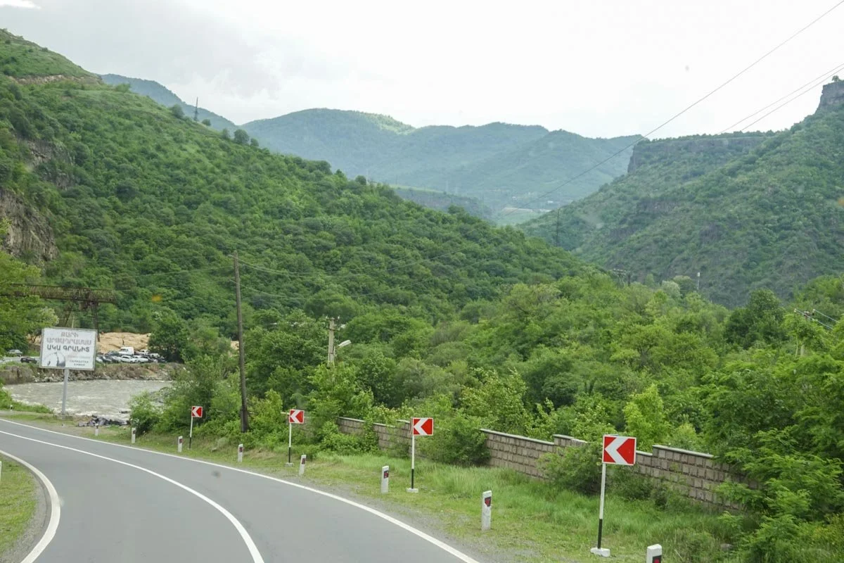

I had no idea that Armenia was so mountainous, so as we drove south and got closer to Yerevan, the forest disappeared, and we started to see some agriculture. At that point, I thought that Armenia had highlands and lowlands.


But then as we were approaching Yerevan, we came around a corner and I realized that we were not that low after all. It turned out that we were simply approaching the Ararat Plane, which was still about 2,600 feet elevation, but with mountains right next to it.

We made a stop near the point of the above photo. We visited a Zoroaster Temple and met the Sheik who was in charge of it. Zoroastrianism has been practiced in Armenia since the fifth century BC. Armenia was primarily Zoroastrian prior to the Christianization of Armenia. We had a special presentation and a Q&A with the Sheik inside the temple, but I didn't learn very much. There were two problems. First, it was as cold as a meat locker inside the temple and second, it was like an echo chamber, so it was extremely hard for me to understand what was being said.

While it turns out that Armenia is not a big agricultural country, like I had suspected, it does have agriculture and animals. Below we are just on the outskirts of Yerevan, the capital, when we encountered some animals crossing the road.
